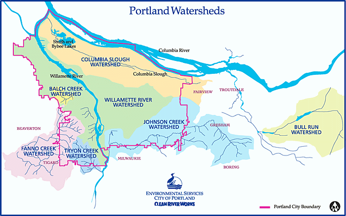
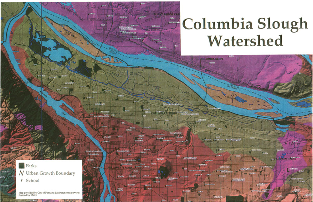
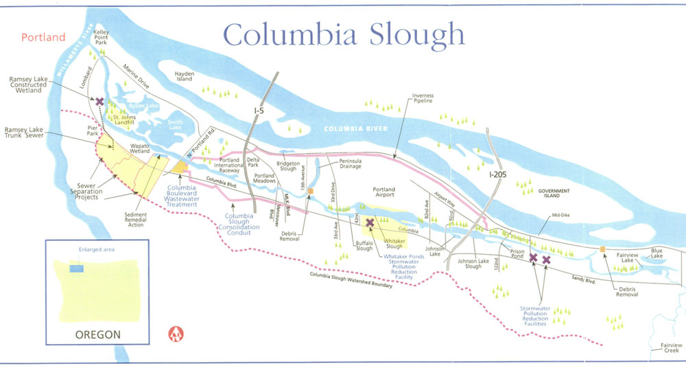
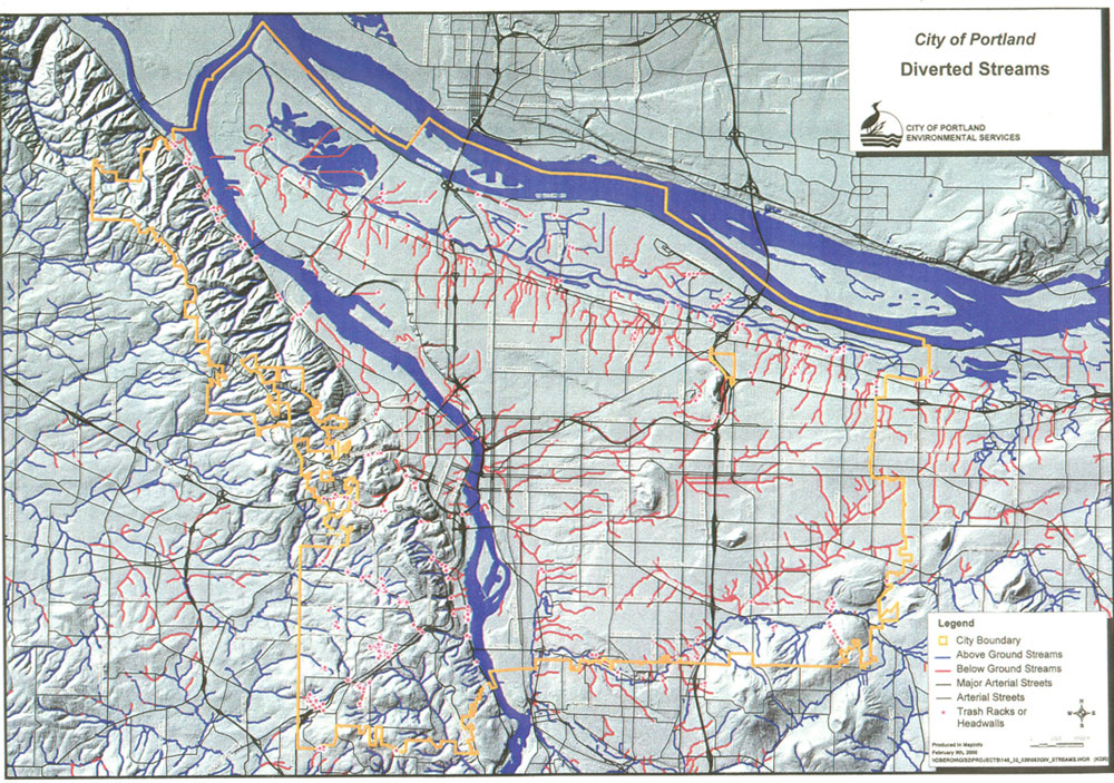
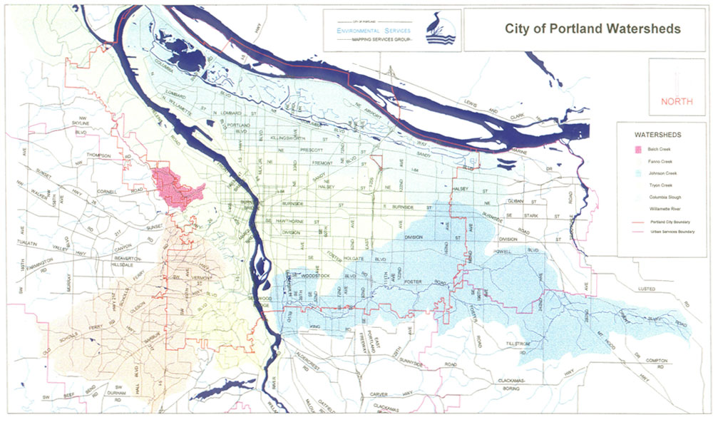
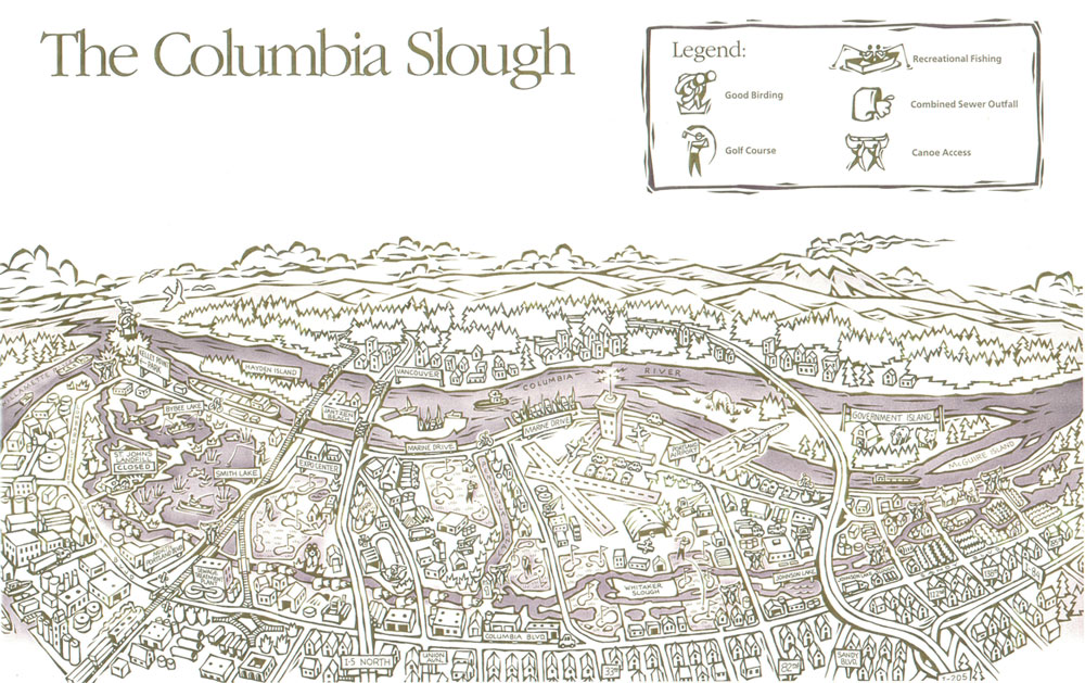
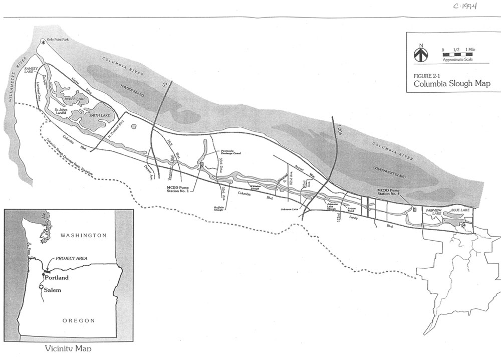
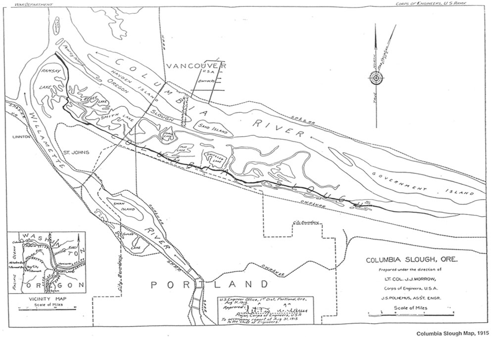
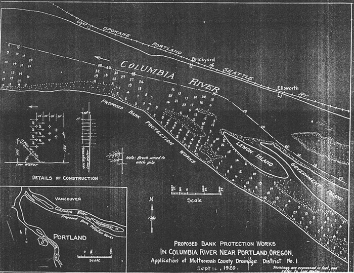
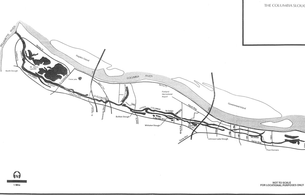
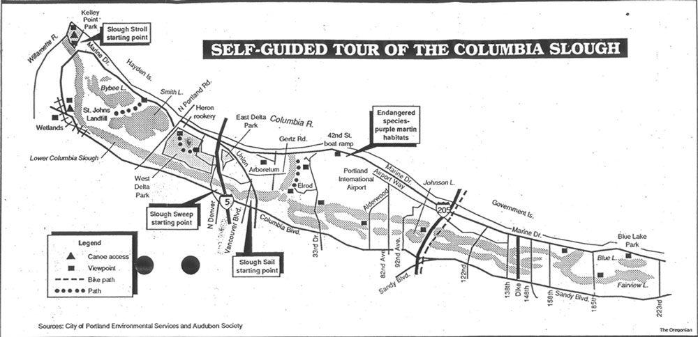
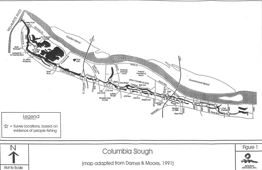
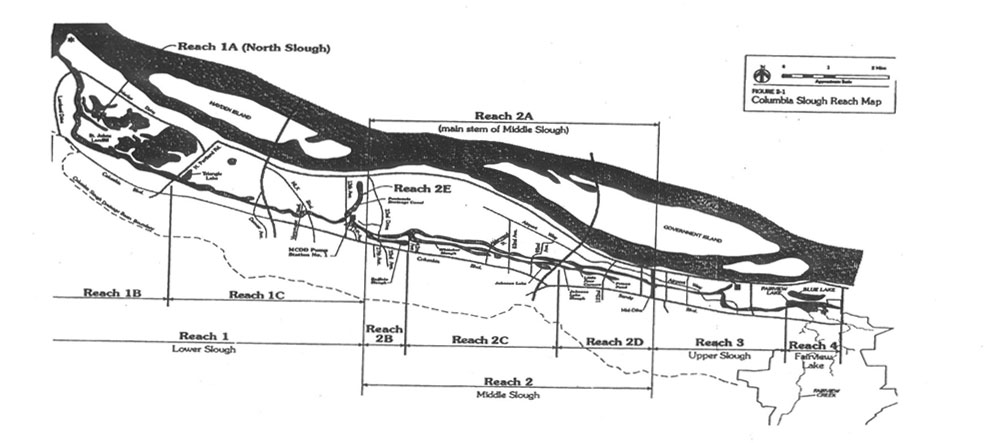
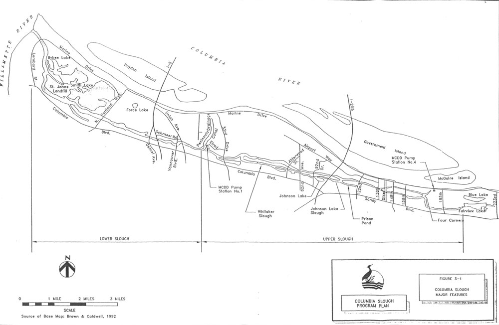
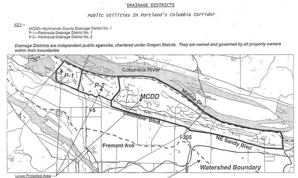
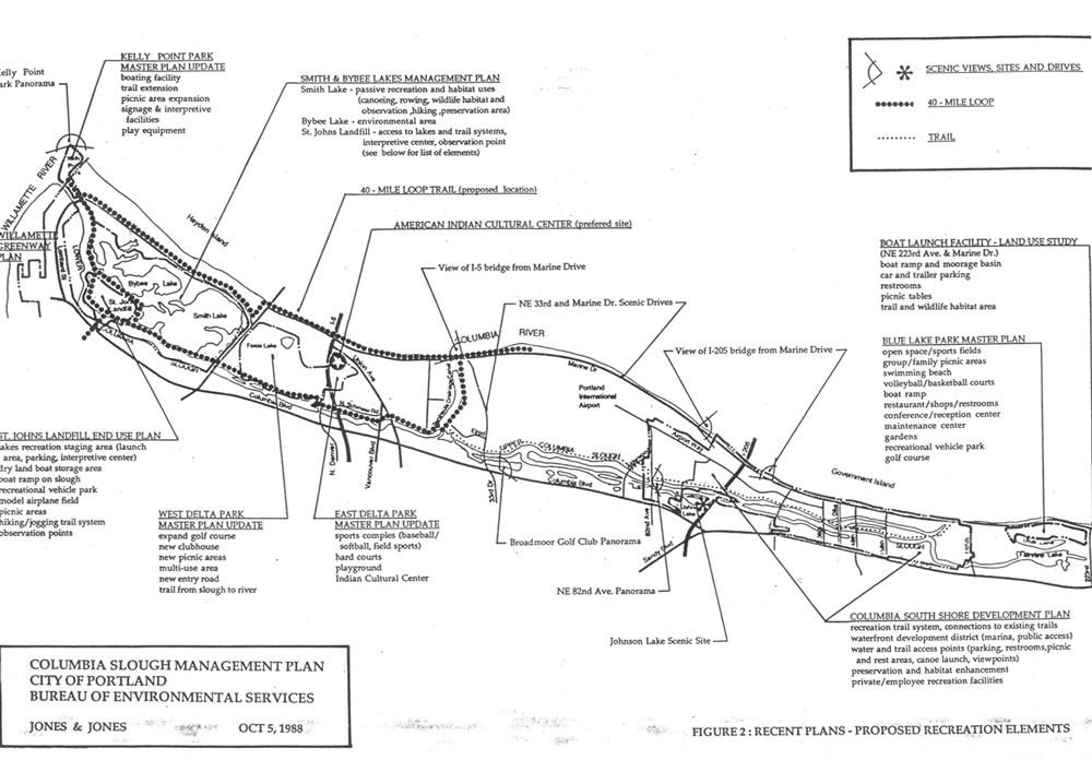
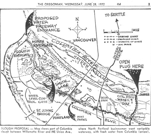
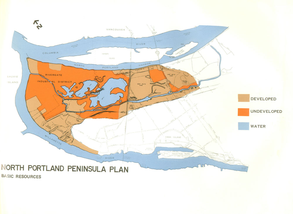
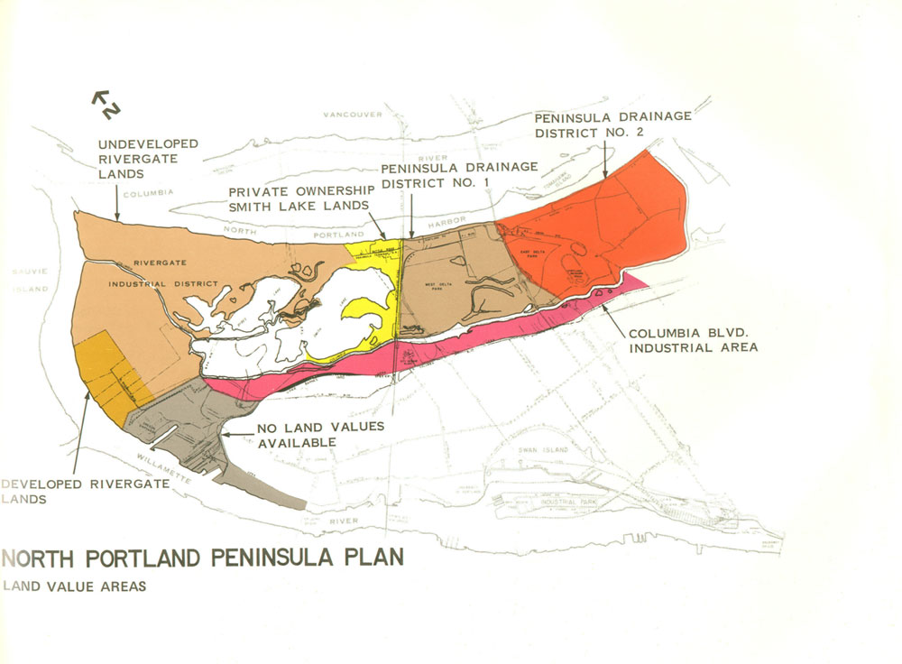
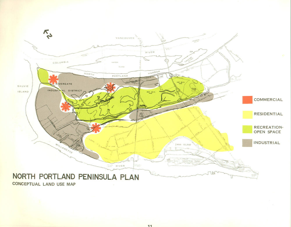
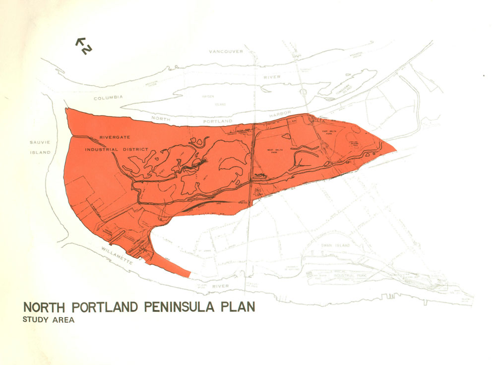
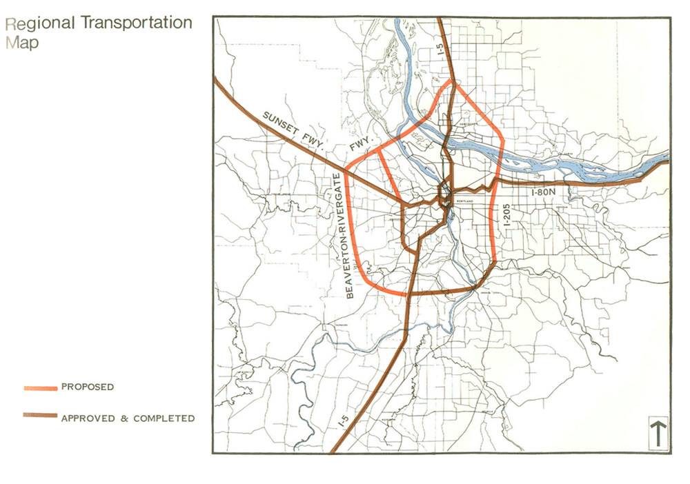
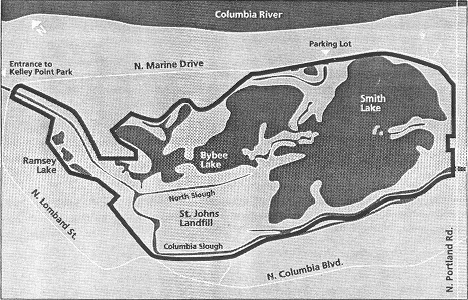
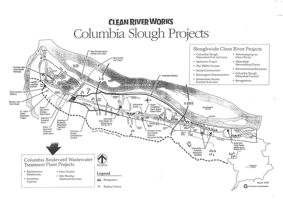
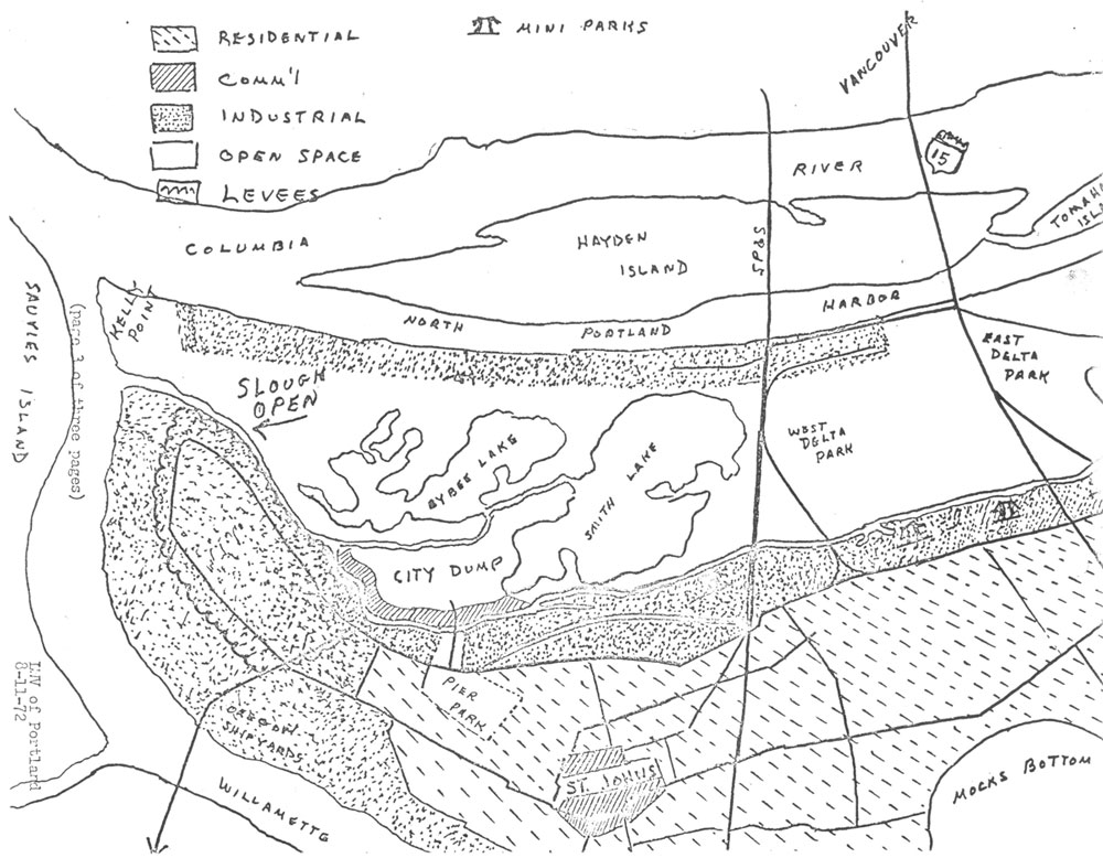
Maps Archive: Columbia Slough

Maps of the Columbia Slough and surrounding region. Unless otherwise noted, the maps come from public agencies.

Portland Watersheds map
Courtesy of Environmental Services, City of Portland

Columbia Slough Watershed map

Columbia Slough map displaying the Columbia river

City of Portland Diverted Streams

Map displaying the city of Portland watersheds.

Cartoon illustration of the Columbia Slough.

Columbia Slough Map.

Columbia River map.

Proposed Bank Protection Works in Columbia River Near Portland
Columbia Slough, 1915.


Columbia Slough map.

Self-guided tour of the Columbia Slough.

Columbia Slough map.

Columbia slough reach map

Columbia slough program plan.

Public utilities in Portland's Columbia Corridor

Columbia Slough Management Plan, City of Portland.

Columbia slough proposal illustration
The Oregonian June 28, 1972.

North Portland Peninsula Plan Basic Resources.

North Portland Peninsula Plan Land Value Areas.

North Portland Peninsula Plan Conceptual Land Use Map.

North Portland Peninsula Plan Study Area.

Regional Transportation Map.

Columbia River map.

Clean River Works Columbia Slough Projects.

Hand drawn map of the Columbia Slough.

css.php